Duncan Cook, Australian Catholic University
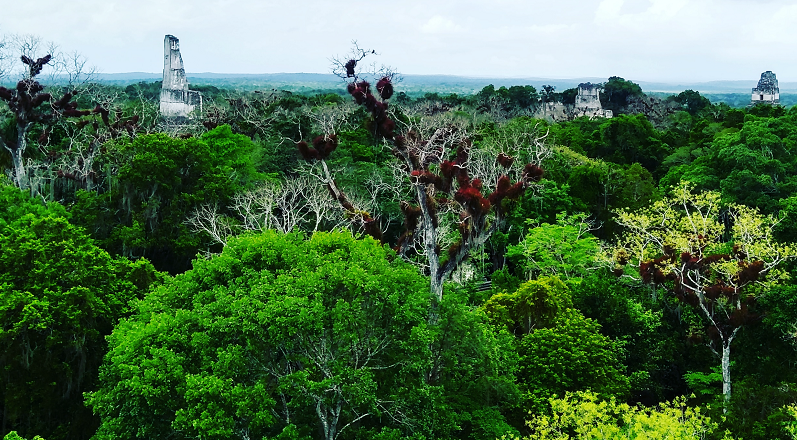
Image taken by Duncan Cook at the historic Maya settlement of Tikal, Guatemala.
The late Holocene history of the ancient Maya world provides a fascinating example of a complex and long-lived tropical human-environment system. The Maya are the indigenous peoples who have inhabited the lowland regions of Central America for millennia. Here, a very sophisticated culture emerged with many impressive achievements, including the famous pyramids and other structures we see across the region, and a glyph-based written culture. Much of the Maya region today is tropical forest or recently deforested, but c. 3000 years earlier, the Maya transformed the neotropical landscape with urbanism and agriculture, with Maya cities, farms, roads, reservoirs, and agricultural fields resulting in a largely humanised landscape. Although a literate society, the written record of the Maya provides scarce information on past environmental conditions, with this missing information increasingly being provided by geographical-based research on paleoclimates, geomorphic change, soils and hydrology. This presentation will discuss key evidence of the role of the Pre-Columbian Maya in shaping their environment, drawing on ongoing geomorphic and geoarchaeological research of the soils, lakes, floodplains, wetlands and other ecosystems of the Maya world. Maya civilization had likely altered local to regional-scale landscapes as early as 1000 BCE (the Maya Preclassic Period), but these impacts waned by 1000 CE. The Maya altered ecosystems with vast urban and rural infrastructure that included thousands of buildings, reservoirs, wetland fields and canals, terraces, field ridges, and temples. There exists a growing body of research that suggests Maya deforestation and related land uses was so widespread that it may have contributed to hydroclimatic variability by the Classic Period (250-950 CE). A much larger body of research documents the Maya impacts on hydrology, in the form of dams, land reclamation, reservoirs, canals, eroded soils and urban design for runoff. The extent and sophistication of Maya water management reflects our understanding of hydroclimatic variability in the first millennia CE, with the so-called Maya Droughts thought to have played some role in the widespread collapse of major Maya cities. Much of our knowledge of the timing, location and magnitude of Maya geomorphic impacts is now being rapidly rewritten, as cutting-edge remote sensing techniques such as Lidar scanning reveal that the Maya urbanisation was much greater than archaeological research has previously documented, and that the Maya transformed enormous stretches of land across present day Guatemala, Belize and Mexico, to sustain their society for more than two millennia, and up until Spanish conquest in the 16th century. The early and sustained environmental transformation by the Maya in lowland Central America has important implications for our understanding of an early Anthropocene and the legacy of long-term human impacts in geomorphology.
Dr Duncan Cook is the Head of Discipline (Geography) and Senior Lecturer at Australian Catholic University in Brisbane, and an Adjunct Research Fellow of the Butzer Memorial Laboratory at the University of Texas at Austin. He is an award-winning University teacher and researcher, and has previously held research positions at the Smithsonian Institution, Georgetown University, the University of Glasgow, and the New Zealand Defence Force. He has been elected councillor of the Geographical Society of New South Wales and the Royal Geographical Society of Queensland, where he currently serves on the Society’s Awards Committee. Duncan’s research is currently focused on the geomorphology and geoarchaeology of the ancient Maya lowlands of Central America, in collaboration with colleagues in the USA, UK and Australia. This work continues to attract global public interest and media coverage, including (most recently) being filmed by National Geographic for the 2019 television series, Lost Treasures of the Maya.
This will be a virtual lecture delivered online via Zoom. Please register for the lecture and the lecture link will be emailed to all registrants closer to the lecture date. If you have any questions, please email us at info@rgsq.org.au.
Please note: the lecture may be recorded, therefore we ask that you mute your microphone and turn your camera off during the lecture. You will have the chance to ask questions via the lecture chat.
Location